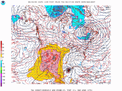
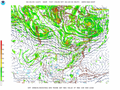
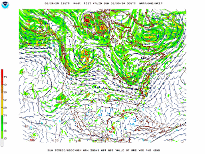
A ridge of high pressure off the Southeast Coast will continue to steer Hurricane Laura towards the western Gulf. Laura is expected to come ashore tonight over Louisiana as a major Category 3 or 4 storm, "Unsurvivable" storm surge up 15 feet expected over a large area along the coast and several miles inland, winds over 110 mph with higher gusts. Storm surge is forecast to occur up to 10 or 20 miles inland. Rainfall totals up to 10 inches. The worst of the storm will be this evening through Thursday morning. The storm then is forecast to move to the Mid-Atlantic States and could produce showers and thunderstorms this weekend in New York City.
George Wright is a Certified Consulting Meteorologist for Wright Weather Consulting, LLC. Visit our website at WrightWeather.com. Follow George Wright on Twitter @gwweather.


