skip to main |
skip to sidebar
Dry Weather Ending Today in the Northeast and Mid-Atlantic States...
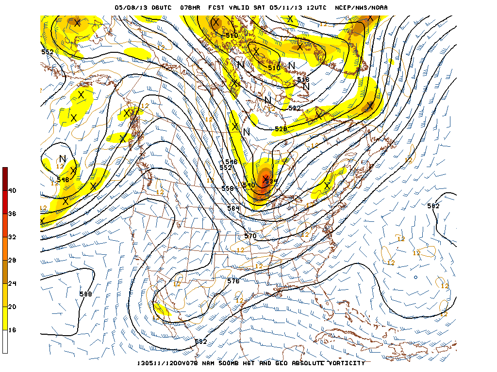
Only 0.04" have fallen since April 20th. April was a very dry month that saw rainfall levels more than 3 inches below normal. The first rain so far this month is falling this morning in New York City. The low pressure system that slowly worked its way through the Midwest producing snow for the first time in May in Arkansas, up to 18" of snow in Colorado and 15" in Minnesota and cancelled baseball in Kansas City is producing heavy downpours with thunderstorms this morning in New York. A Flash Flood Warning is in effect until 9:15 a.m. The low pressure system will circulate for the next 24 hours producing showers in the Northeast into Thursday with a break from the showers on Friday. It will turn warmer on Friday with highs near 80 in the city. A cold front will move eastward producing more showers for this upcoming Mothers Day weekend in the Northeast.
Elsewhere in the country, Flood Watches and Warnings continue along the Mississippi River from southern Illinois to Louisiana. Winter Weather Advisories and Warnings are in effect above 8500 feet in the mountains of Colorado for 3 to 10" of snow. Severe weather is possible today from Kansas to northern Texas. This area shifts to the Ohio Valley and Texas tomorrow.
George Wright is a Certified Consulting Meteorologist for Wright Weather Consulting, LLC. George is also a meteorologist with ABC News and Cablevision News 12. Our website is WrightWeather.com.