skip to main |
skip to sidebar
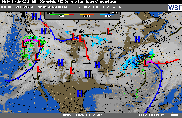
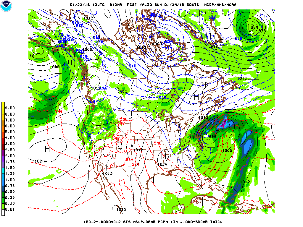
Doppler radar continues to show heavy snow bands extending from Connecticut, New York City and eastern Pennsylvania. The storm is moving very slowly to the northeast and is expected to move faster this evening. The snow will pivot around the closed low at 500 mb this evening and the snow will taper off and end from west to east around midnight. Earlier today, it was reported that 33.0" of snow fell in Jones Springs, WV, 30.0" in Winchester, VA, 18.5" in D.C. and 18.0" in Baltimore, MD. As much as 4 ft. of snow is expected in the mountains of Virginia and West Virginia. Over 15 inches has fallen in Central Park. There is a travel ban in effect in the city and all bus service has been suspended. Limited underground subway service is running. NJ Transit will not run trains today but should be back by Monday. The NAM weather prediction model, which was considered to be an "outlier", proved to be more accurate for this storm since the GFS, Euro and other models forecasted much less snow over the last few days. Yesterday afternoon and evening, the other models then began to show more in the way of snow in similar fashion to the NAM. The weather looks quiet for the rest of the week.
George Wright is a Certified Consulting Meteorologist for Wright Weather Consulting, LLC. Visit our website at WrightWeather.com. Follow George Wright on Twitter @gwweather.