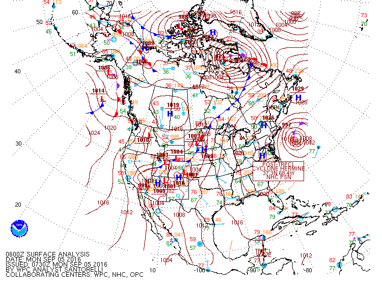
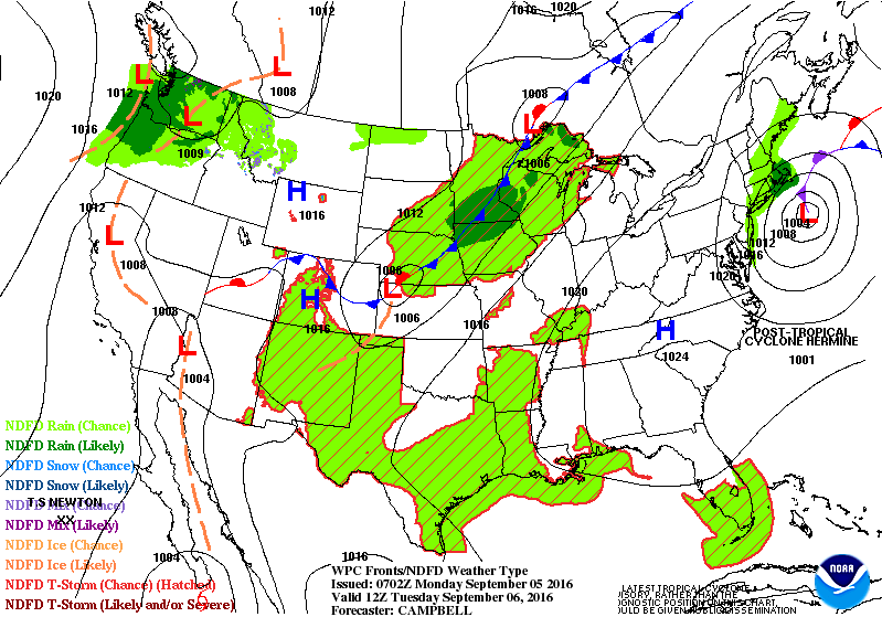
A Tropical Storm Warning remains in effect for coastal New Jersey, NYC, Long Island and coastal Connecticut. The latest information from NHC on Hermine indicates that the winds are 65 mph around the center, the storm is moving to the east-northeast at 15 mph and the central pressure is 29.33 inches or 993 MB. The current satellite photo of Hermine indicates that the eye is visible and becoming better organized. Some strengthening will occur as the storm moves over the warm ocean water. Hermine is forecast to become a Category 1 Hurricane later today or Sunday. Thankfully, the storm will be well off the coast limiting damage to land. Radar shows a large area of rain from Hermine south and east of New Jersey. This is a very slow moving and unusual storm. It is rare for a hurricane or tropical storm to stall off the Mid-Atlantic coast for two or three days. Normally the jet stream winds move the storm quickly out to sea. However, a ridge of high pressure over the northwest Atlantic with a very weak jet stream flow will keep the storm off the coast of NJ and Long Island through Wednesday or Thursday according to the latest models. The storm is forecast to weaken after Tuesday.
George Wright is a Certified Consulting Meteorologist for Wright Weather Consulting, LLC. Visit our website at WrightWeather.com. Follow George Wright on Twitter @gwweather.