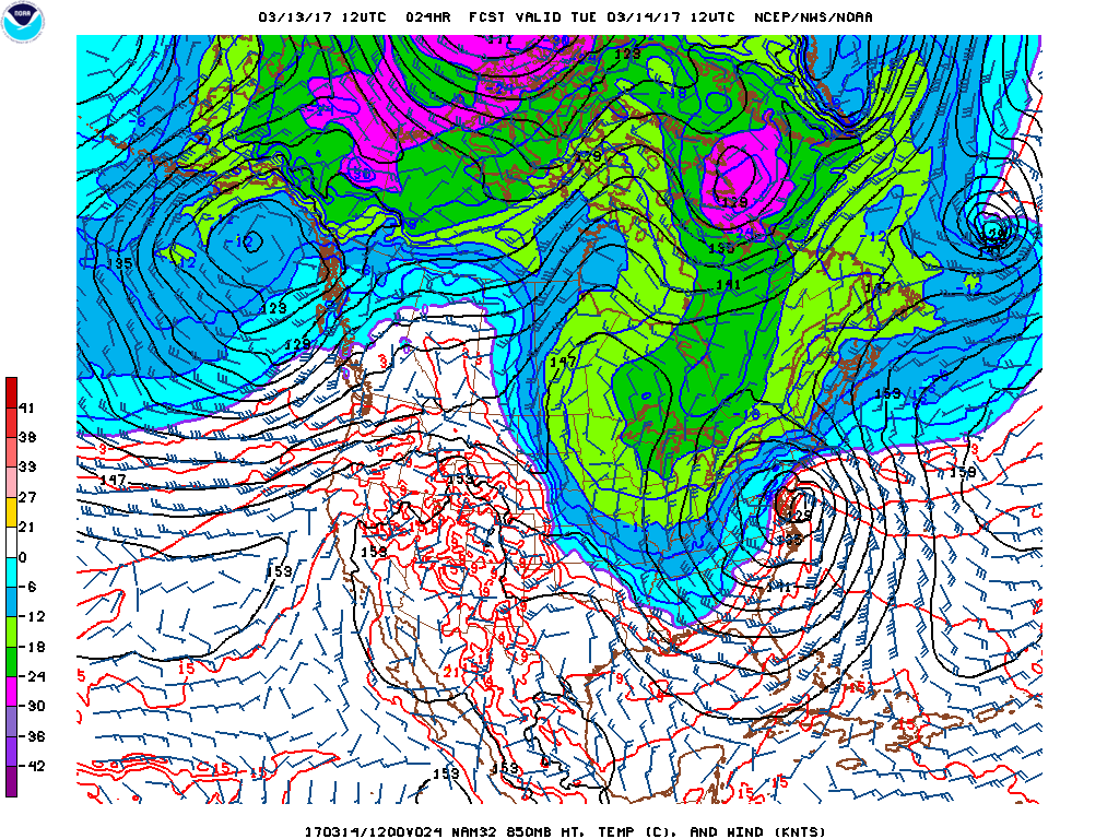
Blizzard Warnings and Winter Storm Warnings remain in effect throughout a large portion of the Northeast through Tuesday night and Wednesday. The heaviest snow will fall across the interior of New Jersey into New England. A Blizzard Watch is in effect for Boston. The latest NAM and EURO models show a change to sleet/rain in New York City, Long Island and southern/coastal New Jersey due to a more western track from earlier runs. The NAM is outputted 2.21" of melted water equivalent precipitation in only 12 hours for La Guardia Airport. Thicknesses are forecast to increase to 541-543 but the upper level temperatures remain at or below freezing. The NAM has the 850 low tracking up Jersey Shore to central LI. This model was very accurate in the large January 2016 blizzard. The GFS model is slightly colder and a little farther east with the storm track. The rain/snow line will be a close call and will reduce accumulations where the snow changes to sleet and/or rain.
George Wright is a Certified Consulting Meteorologist for Wright Weather Consulting, LLC. Visit our website at WrightWeather.com. Follow George Wright on Twitter @gwweather.