skip to main |
skip to sidebar
Unusual Persistent Blocking Pattern in the Eastern Third of Nation and Western Atlantic...
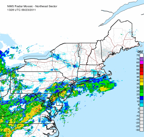
The models continue to indicate the presence of a strong ridge over the western Atlantic and a strong, almost stationary upper-level cyclone over the Ohio Valley. This cyclone or vortex gradually weakens and pushes to the northeast into eastern Canada where is it absorbed into the mean jetstream flow. The satellite and first radar image below were from 9:30 a.m. yesterday. The last radar image below is the current radar that still indicates more showers and thunderstorms across the NYC metro area and to the south.
Rainfall totals for the past 24 hours:
Central Park 2.61"
White Plains 2.57"
West Milford, NJ 2.55"
Newark, NJ 1.39"
JFK Airport 1.07"
George Wright is a Certified Consulting Meteorologist for Wright Weather Consulting, LLC. George is also a meteorologist with ABC News and Cablevision News 12. Our website is WrightWeather.com.