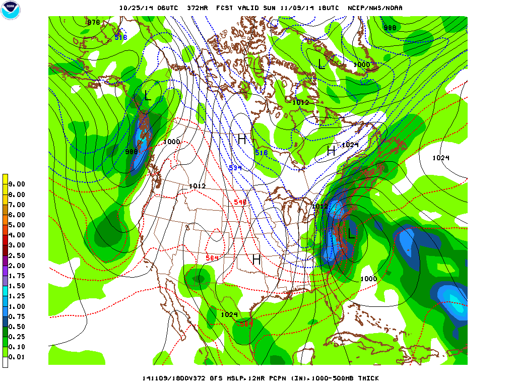
The latest GFS computer model indicates that cold air will advance southward from Canada by Friday across the Great Lakes and into the eastern third of the nation by Saturday. A large area of high pressure is forecast to over most of the eastern half of the country with winter-like conditions across New England, the Great Lakes and the Ohio Valley on Saturday and Sunday. The weather in the Northeast for Halloween should be good but after a mild start, it will turn sharply colder at night. There is the chance of flurries with the cold front that will usher in this wintry chill. The weather should moderate in the East by the middle of next week. The long-range GFS is hinting at a potential coastal storm about 15 or 16 days out that could bring snow to coastal New England and New York City. But since this is so far out into the forecast period, this will certainly change over the next several runs. I do recall that in October 2011 and in early November 2012 right after Sandy, the New York City metro area experienced very early accumulating snowfalls. However, the remainder of the winter saw below normal snowfall. It will be interesting to see if early snowfall this season is also followed by below normal snow for the remainder of the season.
George Wright is a Certified Consulting Meteorologist for Wright Weather Consulting, LLC. Visit our website at WrightWeather.com. Follow George Wright on Twitter @gwweather.


