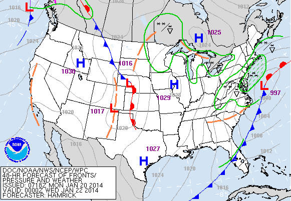
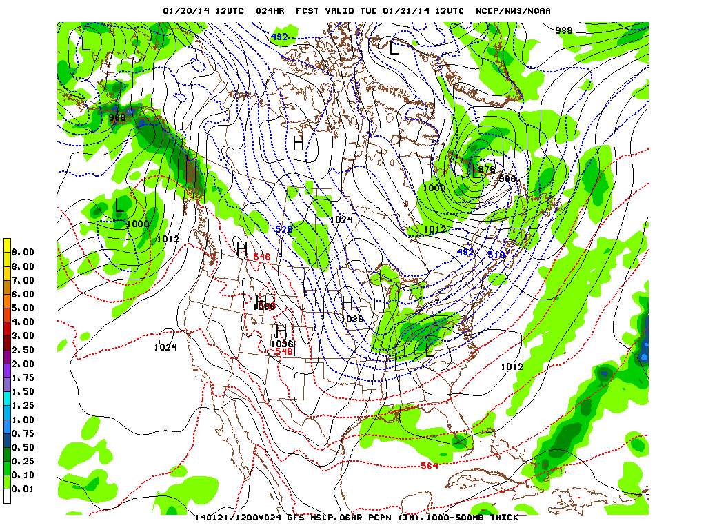
Latest models continue to bring a developing low pressure system near eastern North Carolina closer to the coast. Last week, the GFS model and most of the other models (with the exception of the CMC) kept the storm off the coast. The CMC did strengthen the storm and track it closer to the coast. Now most models are tracking the storm southeast of the 70/40 benchmark (the lat./long/ position for a significant snowfall for the NYC metro area) and the NWS has issued a Winter Storm Watch for tomorrow for NYC, Long Island, coastal CT and central and southern NJ. Winter Storm Warnings are in effect for Virginia, West Virginia and Washington, D.C. Our nation's capital is expecting 4 to 6 inches with this system. A total of 4 to 7 inches is forecast for the NYC metro area with highest amounts near the coast. Meanwhile, a polar vortex will bring another shot of cold air to the Great Lakes wind Wind Chill Warnings posted for MN, WI, MI, parts of the Dakotas, northern IA and northern IL for wind chills down to -40 F. The Arctic air will move into the Northeast keeping it cold for the remainder of the week. Later this week the Arctic air will plunge into the South reaching the Gulf Coast.
George Wright is a Certified Consulting Meteorologist for Wright Weather Consulting, LLC. George is also a meteorologist with ABC News and Cablevision News 12. Our website is WrightWeather.com.