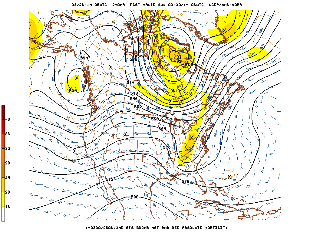
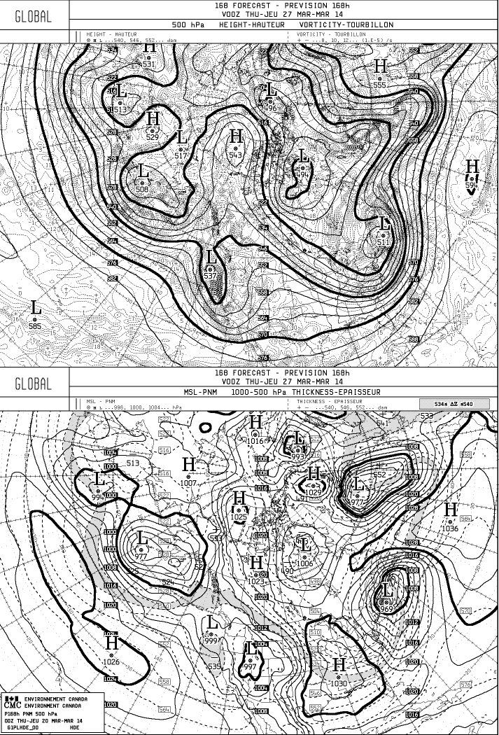
Spring arrives today at 12:57 p.m. but there is a possibility of a coastal storm that could spread snow and ice on Tuesday and Wednesday along coastal sections of the Mid-Atlantic and the Northeast. The GFS, European and Canadian models are developing a storm along the Southeast coast and tracking it northeast. Of course this forecast is 5-6 days away and will likely change but it is something to watch. The weekend runs with better sampling of the upper-air data will provide a better picture of the forecast.
George Wright is a Certified Consulting Meteorologist for Wright Weather Consulting, LLC. Visit our website at WrightWeather.com. Follow George Wright on Twitter @gwweather.
.gif)


