The latest models continue to show snow for Sunday beginning around noon with no consensus on how long the snow lasts during the day or how much will fall. The new NAM is producing a weaker storm and is tracking it farther to the south and east. The latest GFS is doing the same. The Euro continues to show the strongest development and heavier snowfall/precipitation. The temperatures will be slightly above freezing during the day which will lead to melting especially on warmer roadways. Some rain can also mix during the afternoon in the city and along the coast. The temperature will cool to or slightly below freezing late in the day and at night on Sunday and the snow will accumulate on all surfaces.
NAM (North American Model) - this was the only model that correctly forecast the January Blizzard, it is producing 0.15" of precipitation through 8 PM Sunday evening. If the precipitation falls as all snow, it would be about 1.5". The model is maintaining a cold atmosphere with below freezing temperatures in the upper levels which even if the surface temperature rises slightly above freezing, the precipitation will be primarily snow with big flakes. This model, like the GFS is not phasing in the polar jet stream with the southern jet stream until the storm has moved off the New England coast, so if this timing proves correct, it would suggest a weaker storm with less snow for New York City.
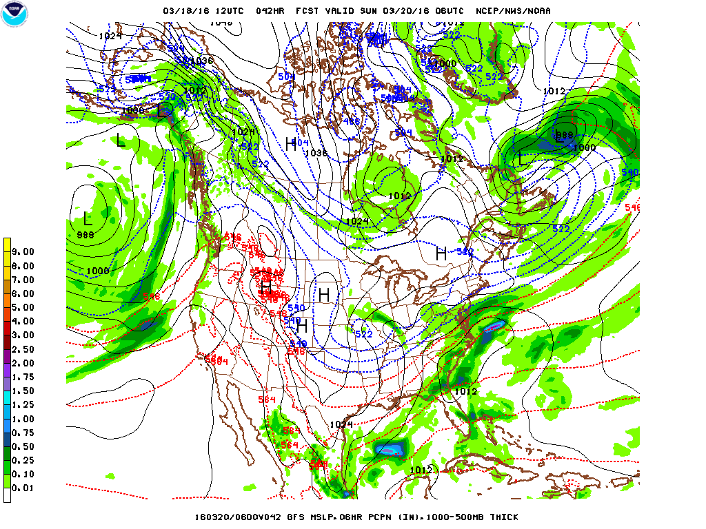
GFS (Global Forecast System) - the new GFS runs take the storm farther south and east like the NAM with less precipitation for New York City. In this scenario, the heavier snow would just graze the city with heavier snowfall over Long Island. But with rain mixing in, the totals could be lower especially in eastern Suffolk. The GFS right now is showing very little snow for the city with the storm passing too far east. This track could change in later runs.
European Model (ECMWF or European Community Medium Range Deterministic Weather Forecast) - this model as I mentioned earlier produces the strongest storm with the heaviest amount of snow for the city. Only last night's 8 PM runs are in now so this model could be coming more in line with the other two models or it may have a better handle on the phasing of the polar and southern jet streams which will lead to faster and stronger development before it moves off the New England coast.
George Wright is a Certified Consulting Meteorologist for Wright Weather Consulting, LLC. Visit our website at WrightWeather.com. Follow George Wright on Twitter @gwweather.