skip to main |
skip to sidebar
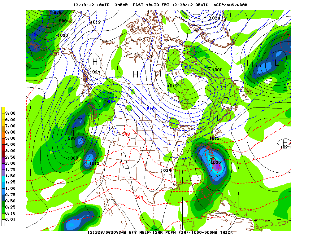
Snow Next Week for the Northeast?
Latest model runs are indicating a coastal storm next week on Tuesday and Wednesday for coastal sections of the Mid-Atlantic and the Northeast. The European is now also forecasting Pacific energy to race across the nation forming a low near the Mid-Atlantic by the early or middle of next week. The UKMET is also developing this storm. The GFS solutions are dramatically changing from run to run and now indicate the coastal storm that will be colder with the potential for rain, sleet and snow for the New York City area around the middle of next week. Then the model is forecasting a cold blast of air that will be the coldest air of the season for Christmas Eve and Christmas Day. The model is hinting at the potential for a White Christmas here in New York which only occurs about 1 in 5 winters. The GFS 6 hours ago was forecasting a less amplified flow at 500 mb after 10 days, now is indicating more amplification. This is common especially more than 5 to 7 days out. But the model trend is indicating that the weather will be colder across the Great Lakes and the Northeast for the next two weeks with a cold Christmas in New York City. More on the developing storm for next week in later posts.
George Wright is a Certified Consulting Meteorologist for Wright Weather Consulting, LLC. George is also a meteorologist with ABC News and Cablevision News 12. Our website is WrightWeather.com.