skip to main |
skip to sidebar
Coastal Storm Will Bring Snow and Strong Winds to the New York City Metro Area Today and Tonight
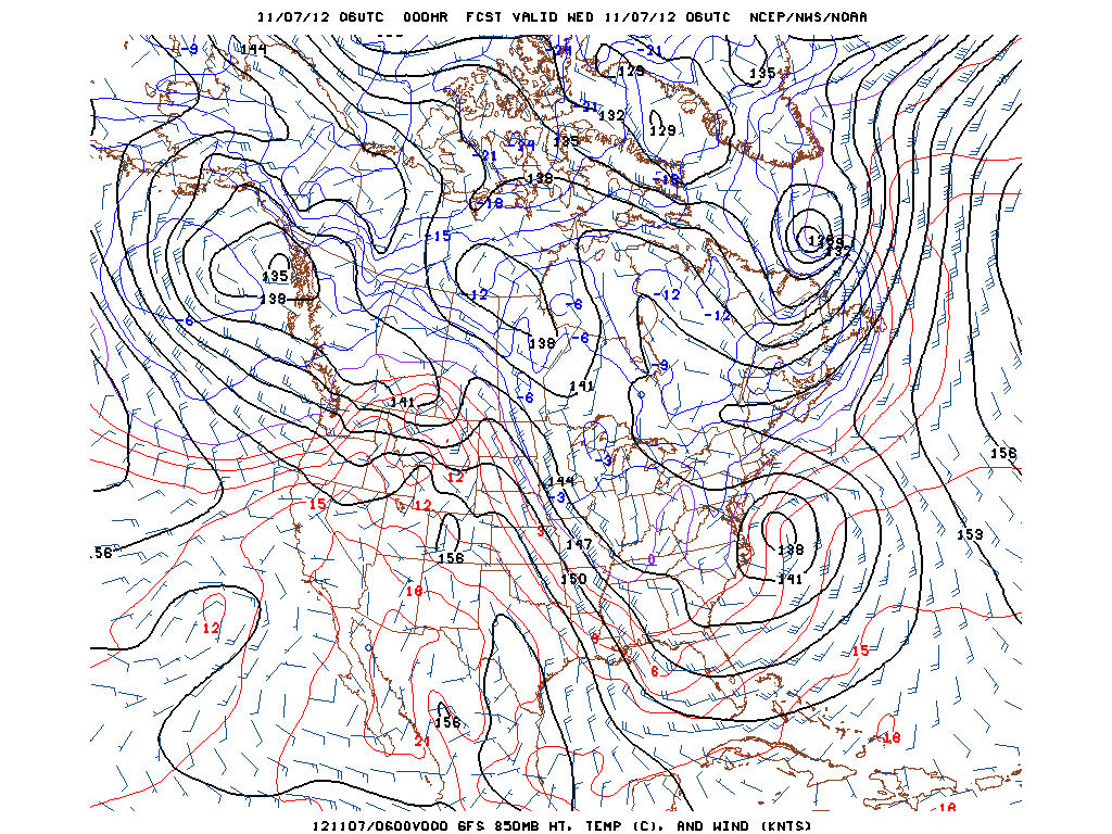
Low pressure continues to track northeastward from a position east of Cape Hatteras. The storm is forecast to be located approximately 75 miles to the east of Cape Cod by 10 AM Thursday morning. Minor to moderate coastal flooding can be expected in NYC, Long Island, NJ and CT. A Coastal Flood Warning is in effect and a High Wind Warning is also in effect along the coast. Tides up to 3 to 4 feet above normal will result is coastal flooding. Waves on the ocean will build to 8 to 12 feet and will produce beach erosion and wash overs along the beaches. Trees that were already weakened as a result of Sandy may also come down onto power lines. Heavy wet snow from 2 to 3 inches near the city to 4 to 8 inches inland can be expected that will also lead to downed branches. There was a mix of rain and snow in Midtown around noon today. The storm will move away Thursday with sunshine returning for the NYC metro area. Milder weather expected later in the week into the weekend.
George Wright is a Certified Consulting Meteorologist for Wright Weather Consulting, LLC. George is also a meteorologist with ABC News and Cablevision News 12. Our website is WrightWeather.com.