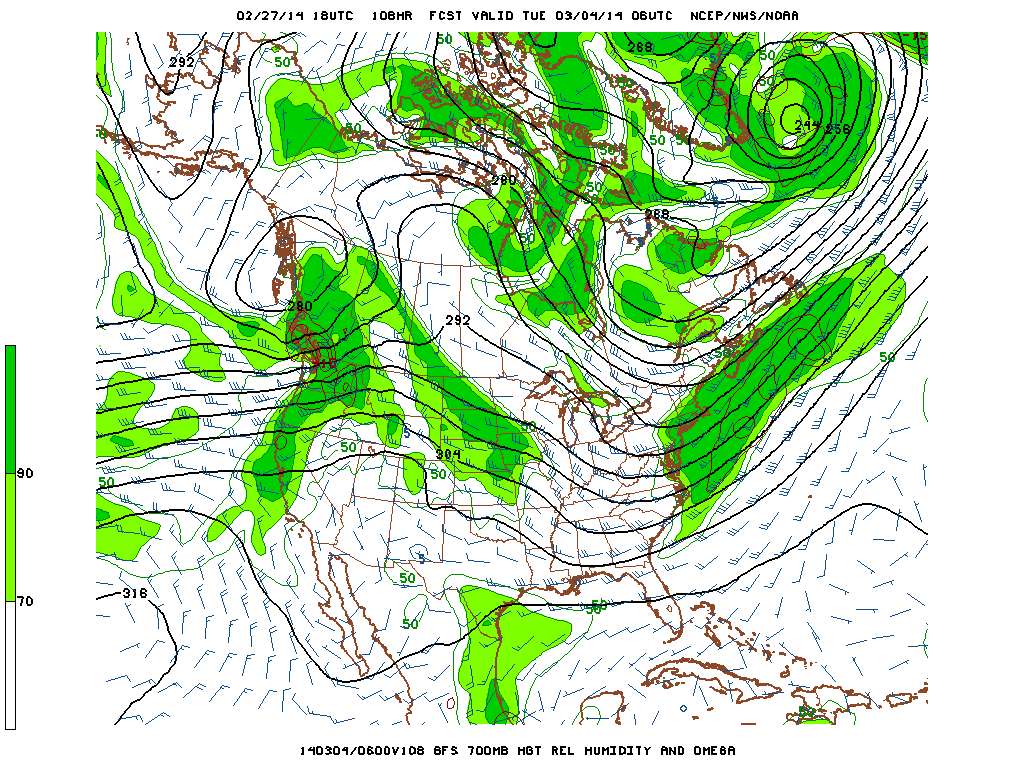
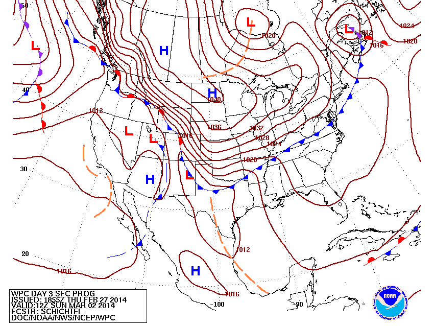
Converging polar and subtropical jet streams across the Eastern United States is forecast to produce an area of 6 to 12"+ of snow extending from the Ohio Valley to New England Sunday night into Monday night. An area of low pressure forming along a stalled cold front will track to the south and east of Long Island Monday night. Meanwhile, much needed rain moves into California over the next 24 hours. Wind Chill Advisories are in effect from the northern plains to northern New England tonight for wind chills as low as 35 to 40 below zero. From the NWS in Duluth, MN: International Falls, MN set a
record low temp of -36 F Thursday morning, February 27th. This breaks the old
record of -30 F set in 1962. This winter is the second-coldest winter on record in Duluth, MN and International Falls, MN.
George Wright is a Certified Consulting Meteorologist for Wright Weather Consulting, LLC. Visit our website at WrightWeather.com. Follow George Wright on Twitter @gwweather.


.gif)


.gif)