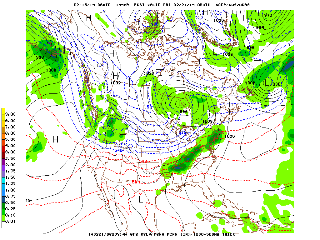
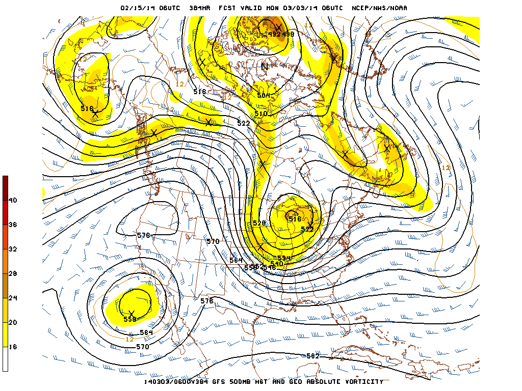
Low pressure will track across eastern North Carolina today and intensify off the coast as it moves across the warmer waters of the Gulf Stream south and east of Long Island. The snow is forecast to be lightest to the west across NJ and NYC with 1 to 4 inches expected. However, across eastern Long Island and southeast CT, up to 4 to 8 inches of snow is forecast and a Winter Storm Warning is in effect for these areas. Blizzard Warnings and Watches are in effect for RI and eastern MA for strong winds and heavy snow up to 6 to 10 inches. It will be windy and cold tonight and Sunday across the Northeast as the storm moves into southeast Canada. Low pressure will move across the Northeast on Monday night and Tuesday spreading light snow to the area. In the long-range, the GFS is forecasting a progressive flow with fast moving weather systems over the next two weeks with frequent storms moving into the Pacific Northwest and the Northeast.After a moderation in temperature later next week with rain across southern New England, the forecast is for colder air to return 8 to 16 days out with the model hinting at a coastal storm for the Northeast around February 28th and March 1st.
George Wright is a Certified Consulting Meteorologist for Wright Weather Consulting, LLC. Visit our website at WrightWeather.com. Follow George Wright on Twitter @gwweather..gif)