skip to main |
skip to sidebar
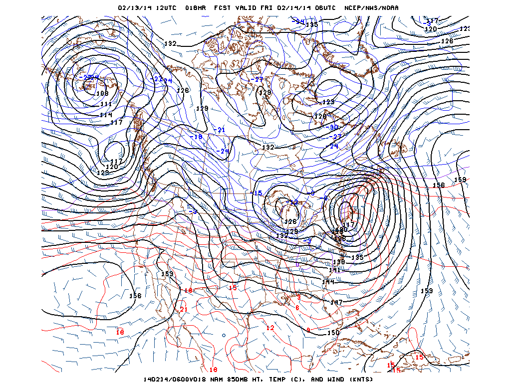
Major Winter Storm in the Northeast...7" in Central Park and 14.5" in Germantown, MD so Far...
Heavy snow bands are indicated on Doppler radar this morning across Long Island, New York City, Central New Jersey and southward to Southeast Pennsylvania. Three to 4 inches of snow in 30 minutes have been reported to the New York NWS office. Snow totals are higher than expected as a result of these bands across Long Island with 9.0" in Commack, 8.4" in Smithtown and and 9.0" in Uniondale. The radar also indicates some sleet mixing in with the snow in the New York metropolitan area. A change to sleet and then rain will occur by this afternoon as the storm passes close to the city. The 850 mb low is forecast to track across New Jersey and New York City this evening. As the storm moves into New England tonight, colder air wrapping around the storm will produce more snow in and around New York City tonight with an additional 2 to 4 inches or more forecast. The snow is falling heavily now in Midtown at 10:30 a.m., the temperature in Central Park is 31 degrees. Freezing rain is reported at JFK Airport now, 32 degrees and it is sleeting in Newark, NJ, 31 degrees. Sleet was mixing in with the snow at 10:40 a.m., now mostly all snow is falling again in Midtown.
George Wright is a Certified Consulting Meteorologist for Wright Weather Consulting, LLC. Visit our website at WrightWeather.com. Follow George Wright on Twitter @gwweather.


.gif)
.gif)
.gif)
.gif)