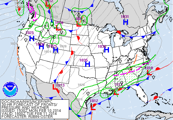
Ice Storm Warnings, Winter Storm Warnings, Winter Weather Advisories and Winter Storm Watches are effect from Texas to New Jersey for periods of snow, sleet and freezing rain tonight through Thursday morning. Two-tenths of an inch of ice is expected in Charleston, SC, 1 to 3 inches with up to 1 inch of ice in Augusta, GA and a Winter Storm Watch is in effect for more than 5 inches of snow and sleet for Washington, D.C. A Winter Storm Watch is in effect for Southeast Pennsylvania and Southern NJ for Wednesday night through early Friday morning for up to 8 inches of snow. Waves of low pressure moving along a frontal boundary along the northern Gulf of Mexico will produce overrunning precipitation in the form of rain, snow, sleet and freezing rain tonight through Wednesday night. By Wednesday evening, low pressure is forecast to organize over Georgia and South Carolina. This storm is forecast to track northeastward along the coast passing to the east and south of New York. Snow, with sleet and freezing rain and rain near the coast is forecast for the New York City metropolitan area beginning late Wednesday and continuing on Thursday. Models have not converged on a solution and as a result, the storm track and precipitation types are still subject to change. Heavy snow is also forecast for the northern Rockies over the next couple of days. Dry weather continues for California. The long range models indicate that it will be near 60 in New York on or about February 18th or 19th.
George Wright is a Certified Consulting Meteorologist for Wright Weather Consulting, LLC. Visit our website at WrightWeather.com. Follow George Wright on Twitter @gwweather.


.gif)