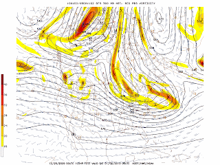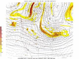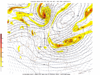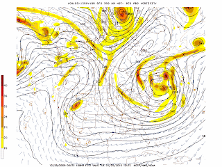


The GFS continues to develop a cutoff low after the weak coastal storm moves to the northeast of the NYC area. The graphics above indicate that lobes of vorticity may generate some clouds and snow or rain showers but no major storm is expected. The low begins to form on January 2, 2010 (after 108 hours) and then moves away to the northeast by January 5, 2010.
George Wright is a Certified Consulting Meteorologist and President of Wright Weather Consulting, Inc. Our website is WrightWeather.com.