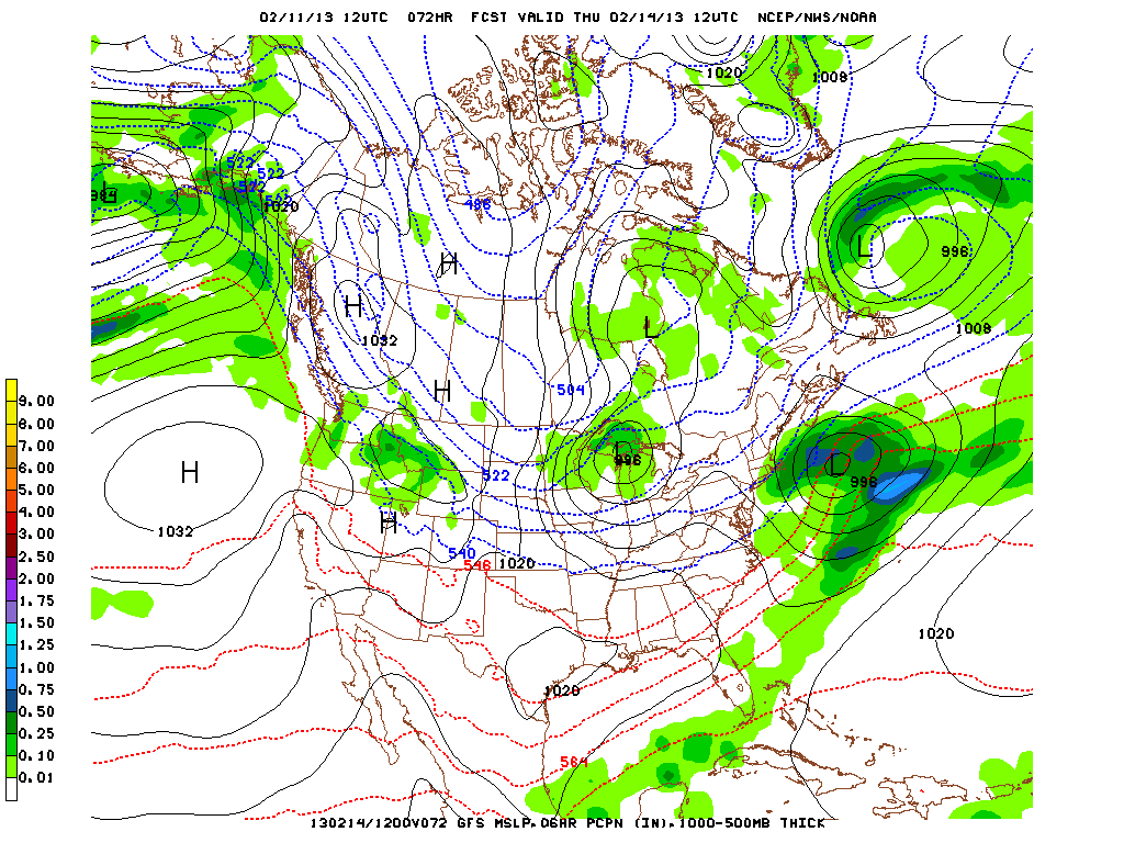
The long range GFS is indicating a potential Nor'easter for Sunday that could produce significant snow for the NYC area and coastal New England. The Euro model is keeping this storm just south of the area and develops it farther off the coast. The GFS is forecasting a very storm period for the Northeast over the next two weeks with cold air plunging down from Canada and an active southern branch of the jetstream that produces storms across the southern Plains and the Southeast that could produce snow for the Northeast and Mid-Atlantic regions.
The NAO and AO indices which were positive early in February have turned negative and are forecast to remain so for the next two weeks.
George Wright is a Certified Consulting Meteorologist for Wright Weather Consulting, LLC. George is also a meteorologist with ABC News and Cablevision News 12. Our website is WrightWeather.com. Follow George on Twitter @gwweather.