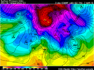
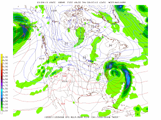
The NAM, GFS and Canadian models continue to push the northern edge of the precipitation from the forecast storm northward on Wednesday and Thursday with snow and rain moving into coast New England. The European model continues to keep the store more to the south. The energy that will produce this storm is diving across the Midwest with up to a foot of snow in the northern plains by Thursday. More details on the storm tomorrow.
George Wright is a Certified Consulting Meteorologist for Wright Weather Consulting, LLC. George is also a meteorologist with ABC News and Cablevision News 12. Our website is WrightWeather.com.


