skip to main |
skip to sidebar
Latest GFS and NAM Model Forecasts are Moving Precipitation Farther North to NYC and Long Island
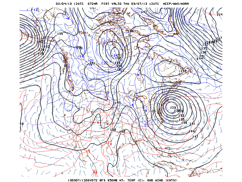
With regard to the potential, slow moving coastal storm for Wednesday and Thursday along the Mid-Atlantic coast, the model trend this morning has been to push the storm track more to the northeast and as a result, the GFS and NAM are bringing the northern edge of the precipitation shield across NYC and Long Island. Depending on the temperature and timing, the precipitation will fall as either rain or snow with snow most likely Thursday evening. The precipitation could also brush across coastal New England Thursday. This storm will be a slow moving system that will produce onshore winds with gusts to 50 mph and coastal flooding at high tide.
Elsewhere, Blizzard Warnings and Winter Storm Warnings are posted across the upper Midwest with up to 15 inches of snow expected in parts of North Dakota and 6 to 10 inches in Minneapolis and Chicago today through Tuesday night. This storm will then dive into the Ohio Valley producing heavy snow across interior Virginia with as much as 5 inches in Washington, DC on Wednesday.
George Wright is a Certified Consulting Meteorologist for Wright Weather Consulting, LLC. George is also a meteorologist with ABC News and Cablevision News 12. Our website is WrightWeather.com.