Wright Weather Consulting, LLC is a meteorological and air quality consulting company based in New York City. We specialize in forensic weather investigations, testimony, weather forecasting and air quality and environmental studies.
Search This Blog
Wednesday, March 6, 2013
Strong Coastal Storm Producing Heavy Snow in the Mid-Atlantic and Coastal Southern New England Today through Friday...
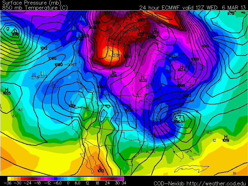
The models are coming into better agreement as is normally the case this close to a storm event. Radar indicates snow falling across inland sections with rain along the coast of Virgina and the Delmarva. Up to 8" of snow is forecast for Washington, DC with as much as 12 to 18" to the west of our nation's capital in the mountains of Virginia. A Winter Weather Advisory is in effect for New York City, western Long Island and northern and central New Jersey. Up to 6 to 10" of snow is forecast for eastern Long Island and a Winter Storm Warning is posted there. Between 2 and 4" of snow is forecast for New York City with the potential for another 1 to 3" Thursday night and Friday morning as a Norlan trough forms on the west side of the storm and this combines with a vorticity maximum diving down from the Great Lakes. Coastal Flood Watches and Warnings are in effect along the coast including NYC, the Delmarva and coastal New England. Winter Storm Warnings continue for Appalachian Mountains, and parts of southern Pennsylvania, West Virgina, Virginia, Maryland and southeast Connecticut. A Wind Advisory for gusts up to 50 mph has been issued along the coast of the NYC metro area. A Winter Storm Watch for 4 to 8" of snow has been issued for parts of coastal New England including Boston and Providence. The weather will turn milder this weekend in the Northeast with highs around 50.
George Wright is a Certified Consulting Meteorologist for Wright Weather Consulting, LLC. George is also a meteorologist with ABC News and Cablevision News 12. Our website is WrightWeather.com.