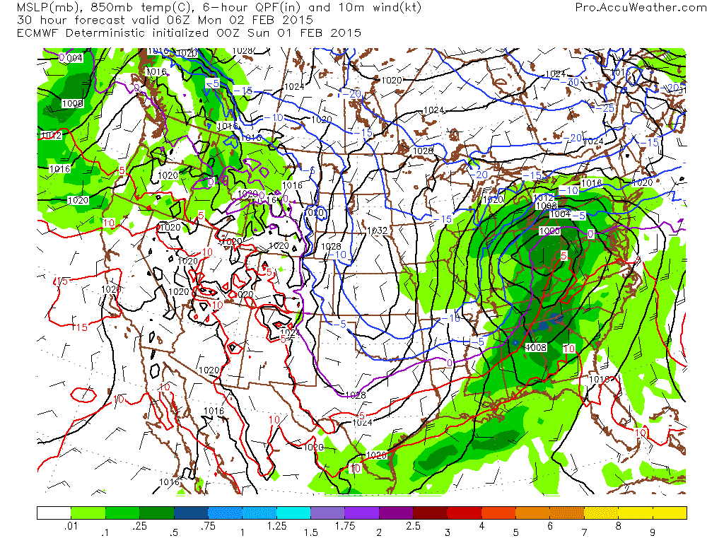
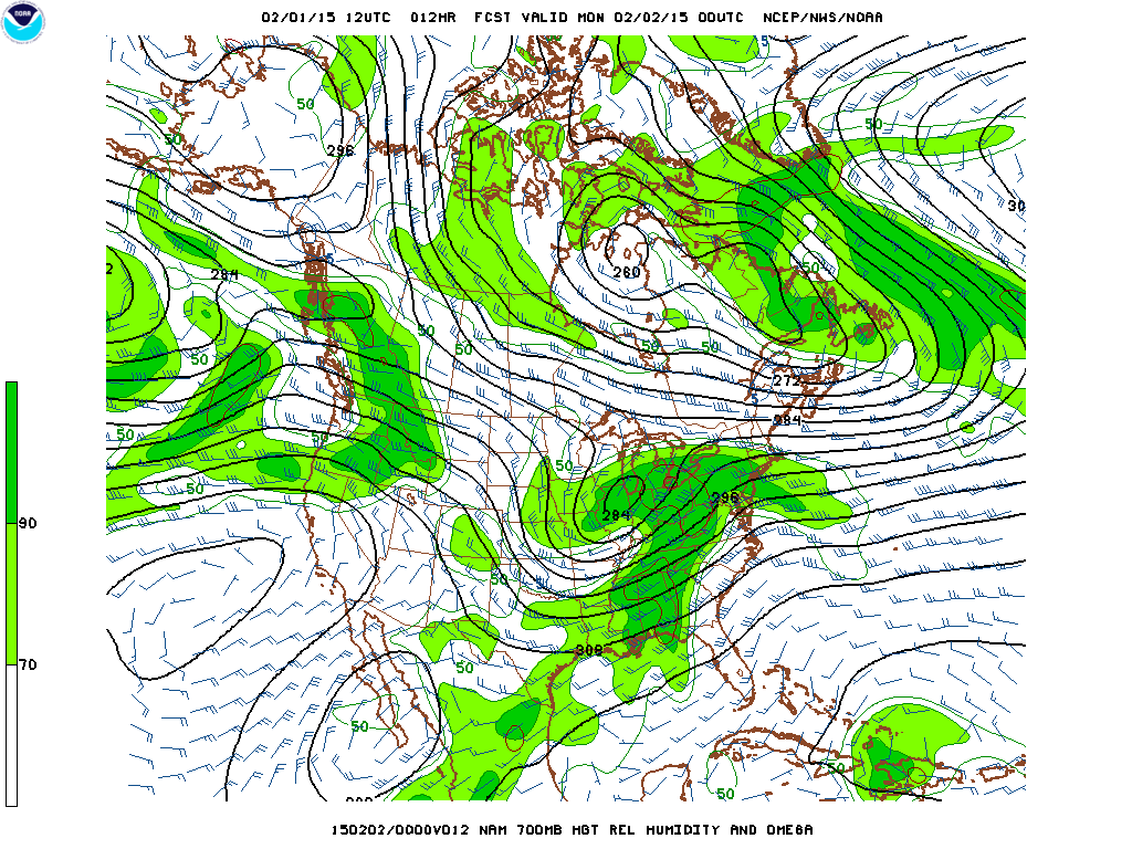
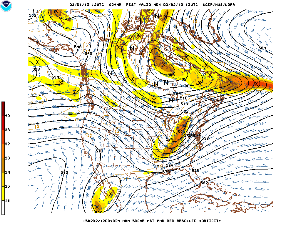
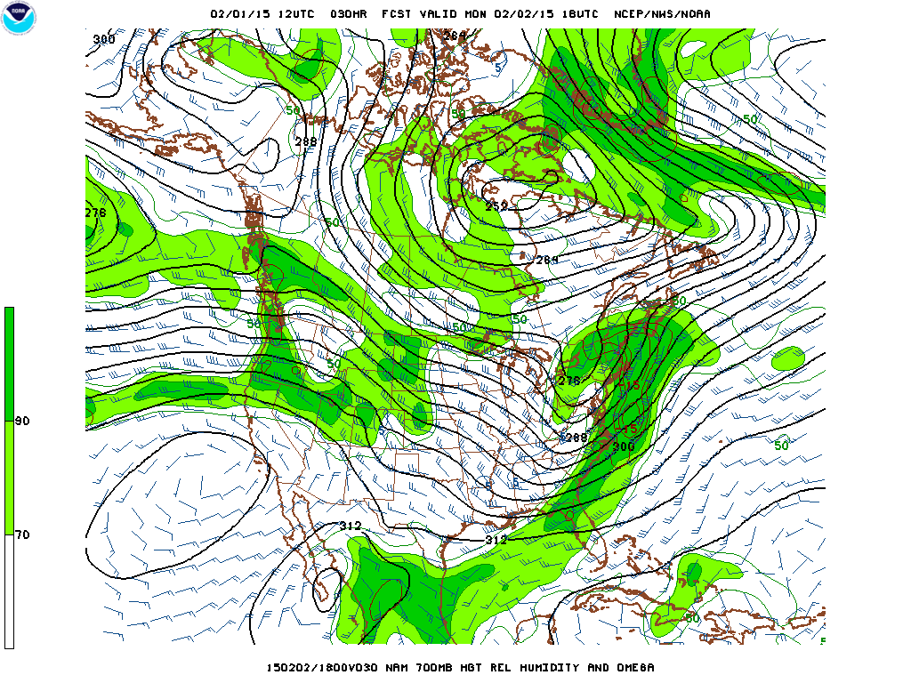
Low pressure today will track across southern Illinois and Ohio. This system is well developed and has spread a large area of snow from the upper Midwest to Pennsylvania with a large area of rain and thunderstorms southward across the Mississippi River Valley.The second winter storm in less than a week will affect the New York City metropolitan area with a variety of precipitation. The temperatures at the surface and aloft are cold enough tonight and early Monday morning to allow for snow to fall and rapidly accumulate up to 4 inches before it mixes with sleet, freezing rain and rain along the coast and in the city for a period of time. Colder air is forecast to move into the area Monday afternoon changing the precipitation back to all snow. The European model is a bit colder at 850 mb than the NAM and GFS. The NAM is forecasting a 500 mb-1000 mb thickness of 545 dm at 7:00 AM tomorrow. This will allow for freezing rain and then rain for a period of time in the morning on Monday that will reduce accumulations in the city and along the coast and Long Island. The 850 mb low is forecast by the NAM and GFS to pass to the north of the city across the Lower Hudson Valley while the European model is moving it a little south almost directly over the city. A Winter Storm Warning is in effect for northern New Jersey, New York City, the Lower Hudson Valley, northwest Long Island and Connecticut for 4 to 8 inches of snow and sleet with up to one quarter inch of ice.
The GFS continues the colder pattern that has been locked in place over the Great Lakes to the Northeast for the past week or two. The model is forecasting more clipper systems that can produce light snow and the possibility of one or two coastal storms that could produce heavier snowfall in the Northeast.
George Wright is a Certified Consulting Meteorologist for Wright Weather Consulting, LLC. Visit our website at WrightWeather.com. Follow George Wright on Twitter @gwweather.


