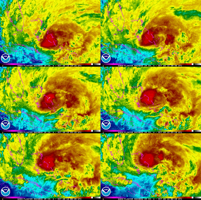
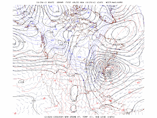
The latest track from the NHC brings Sandy across the New Jersey Shore Tuesday morning. A 4 to 6 foot storm surge can be expected which would be worse than Irene. Winds of 60 to 80 mph can also be expected. Flooding rains over 6 inches can be expected. The strong winds will knock down trees and power lines. The NAM model at of 00Z or 8 PM this evening is now forecasting a 972 MB low or 28.88 inches near Long Island on Tuesday morning at 8 AM. The GFS and European models were tracking the storm farther south near Atlantic City. Therefore, the actual track may be between the NAM and the GFS and the European or ECMWF. The storm is being pushed northward by a southerly jet stream and a high pressure system near the Canadian maritimes is building down steering it towards the coast. Meanwhile, a strong upper-level jet will add upper dynamics and lift that will increase the strength of the storm. This storm is being call a "hybrid" since it is a combination of a Nor'easter or coastal storm and a hurricane/tropical storm.
George Wright is a Certified Consulting Meteorologist for Wright Weather Consulting, LLC. George is also a meteorologist with ABC News and Cablevision News 12. Our website is WrightWeather.com.


