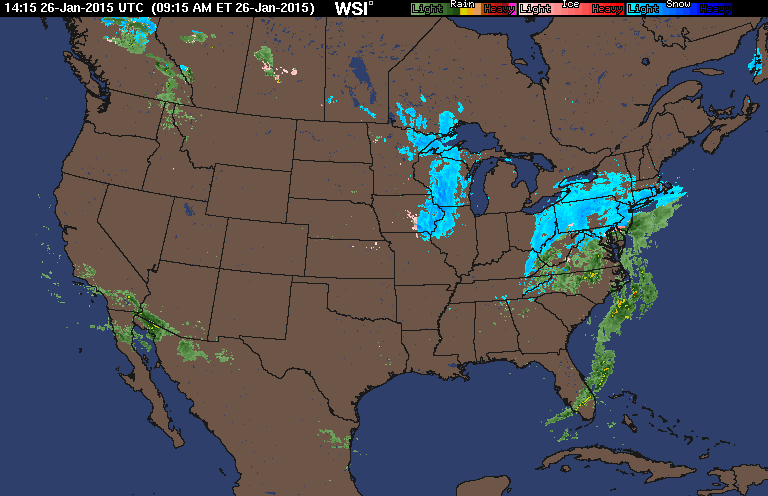
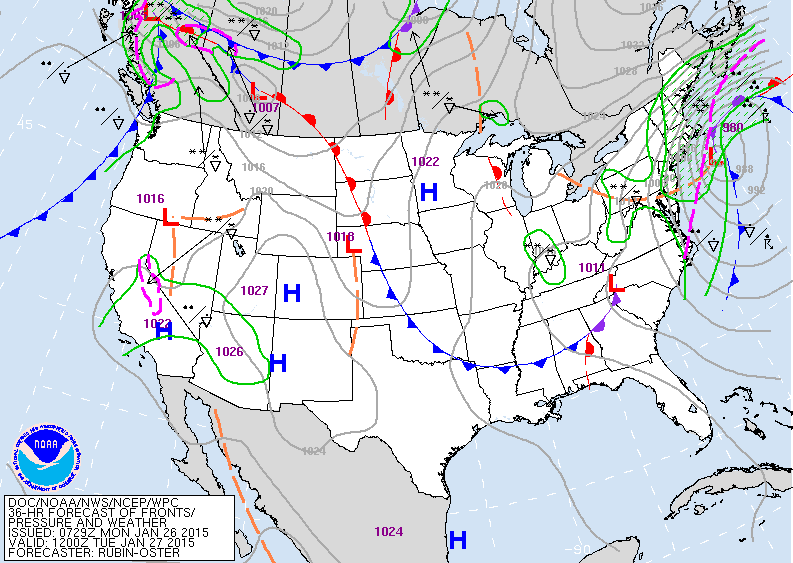
Overnight the operational models continue to show some disagreement in the amount of snow and where the heaviest precipitation will occur. Typically, the heaviest snow in winter Nor'easters occur 100 to 200 miles to the northwest of the storm center. Models often do not forecast the snow far enough west in these storms. However, overnight the models did lower the amount of water equivalent or precipitable water to about 1.5 to 1.8 inches for New York City and New Jersey with the 2 to 2.5 inch area now to the east across the Twin Forks of Long Island and into Boston and coastal New England. The 20 to 30 inches that were forecast yesterday for New York City during the afternoon has now been shifted to eastern New England with Providence also expecting 20 to 30 inches. However, there are mesoscale bands of heavier snow that set up and are difficult to forecast well in advance. So it is possible that isolated higher amounts will occur in the city and across New Jersey. A total of 18 to 24 inches is now forecast for New York City, southern CT, Long Island and eastern New Jersey. The worst of the storm will occur tonight and Tuesday morning in the city and Tuesday afternoon and evening in Boston. The weather will be cold and dry Wednesday and Thursday with a chance of light snow on Friday.
George Wright is a Certified Consulting Meteorologist for Wright Weather Consulting, LLC. Visit our website at WrightWeather.com. Follow George W right on Twitter @gwweather.
George Wright is a Certified Consulting Meteorologist for Wright Weather Consulting, LLC. Visit our website at WrightWeather.com. Follow George W right on Twitter @gwweather.